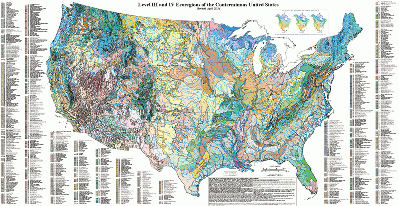
 Ecoregions Level IV is a beautiful map, but very complex. Too complicated to go over in detail on this blog, so I’ll copy a link to the map and you can have a go at your leisure. It’s unreadable on a computer without zooming in. The EPA also has Level IV maps for each state as well and that is probably easier to read in its standard form.
Still, as a map and as a concept it’s really quite interesting and gives us a true picture of the diversity of ecosystems in the US. The map breaks down each of the Level III (number) regions into smaller subsets (letter) (ex. 43a and 43b). With this system, there are a total of 967 Level IV ecoregions in the 48 states!
The GPT passes through at least 36 Level IV ecoregions by my count. That’s a lot of diversity in what some people call flat and boring. I highly recommend spending some time with this map or the maps by state. You’re sure to learn a thing or two either about the Great Plains or about your own home state. Here are the links:

