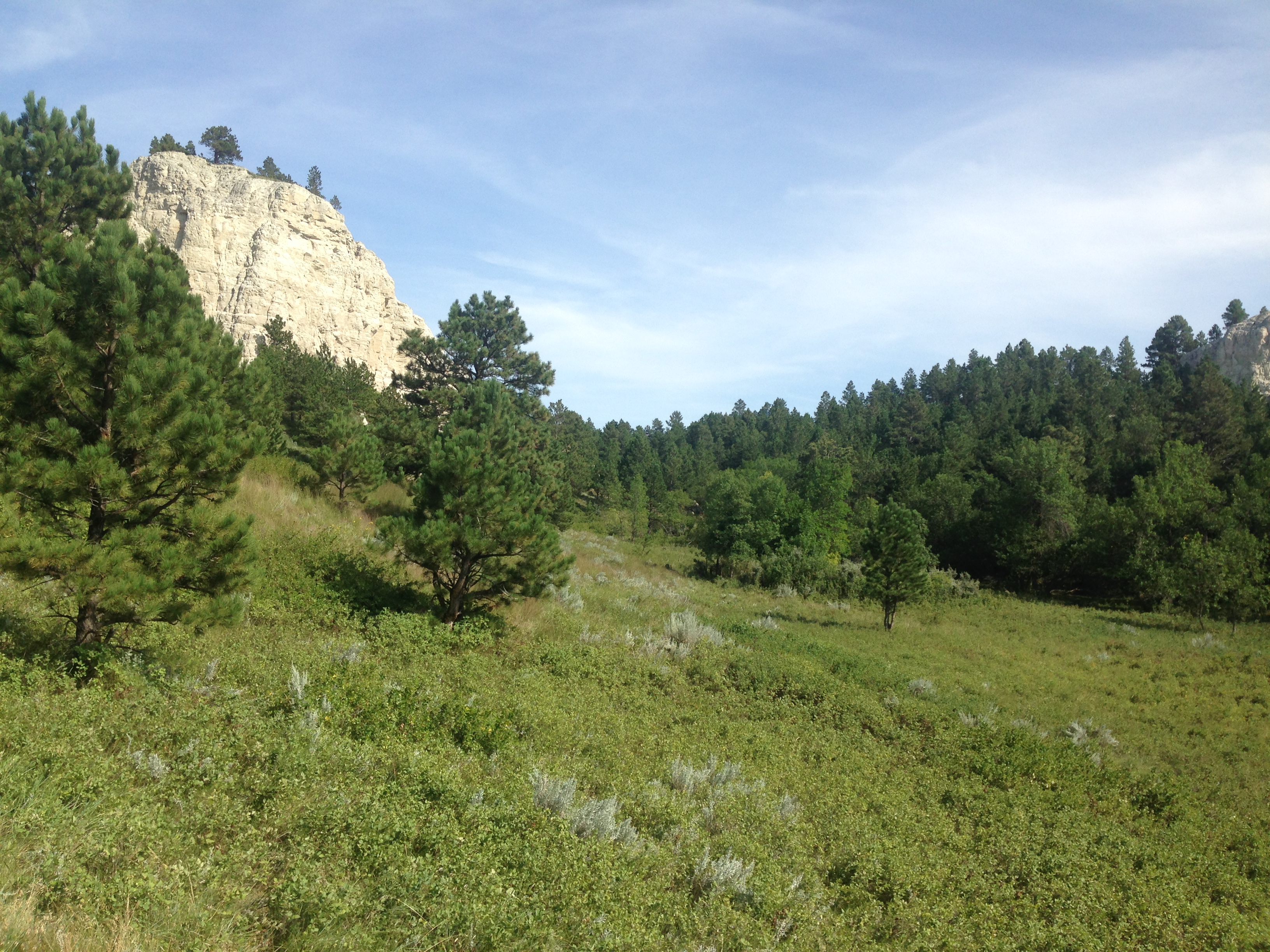
I’ve written about this trip here before, but here is the final version which has been taken from the official GPTA Newsletter:
Slim Buttes Connector Trail
(By Steve Myers & Luke Jordan)
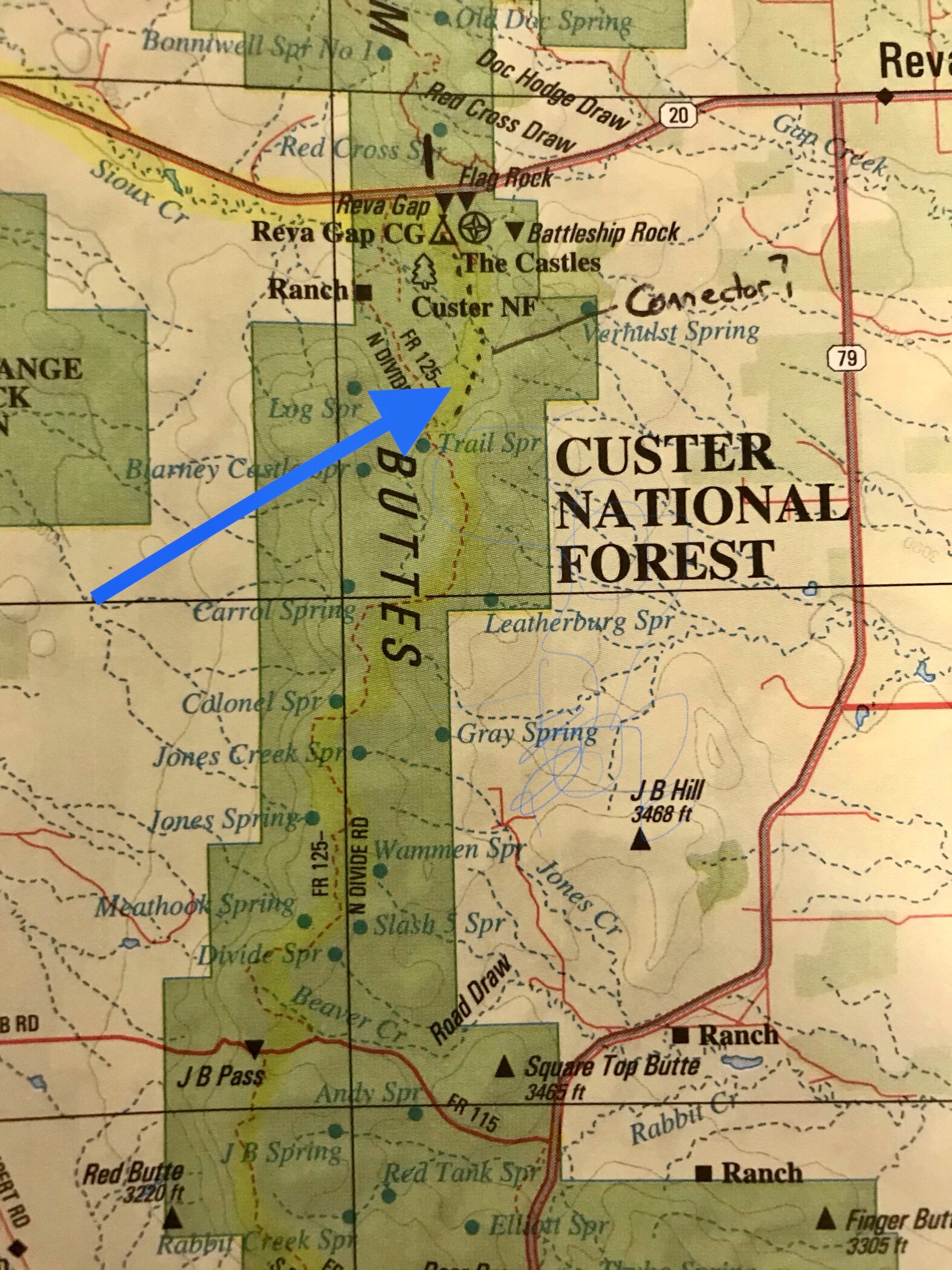
 My first trip to the Slim Buttes area of Custer National Forest was back in July of 2013. It was a scorching hot afternoon as I drove as far as I could on JB Pass Road. I got out and took a short hike to the top of a hill overlooking the area. Even in the heat, the land was beautiful. This is exactly the sort of scenery I had in mind when I envisioned the Great Plains Trail – open rolling prairie with small canyons cut in, and buttes standing guard. From where I stopped that day, I knew there was a forest service campground (Reva CG) just a few miles north, and I knew there was a forest service road heading in that direction, but stopping short of the campground. I knew I would return one day to see if there was a way to connect the dots, and forge a possible new trail in the area. Below is a photo of my map with my little note on it that says “connector?”
Fast forward to August of 2019. It was time to put an answer to that question mark on the map. Luke Jordan was going to be in the west giving a few talks on his epic GPT adventure from 2016. I had recently moved to Minnesota, but had some time to meet up with him in South Dakota. The subject of connecting Reva CG with the little used forest service road was top on the list of things to do.
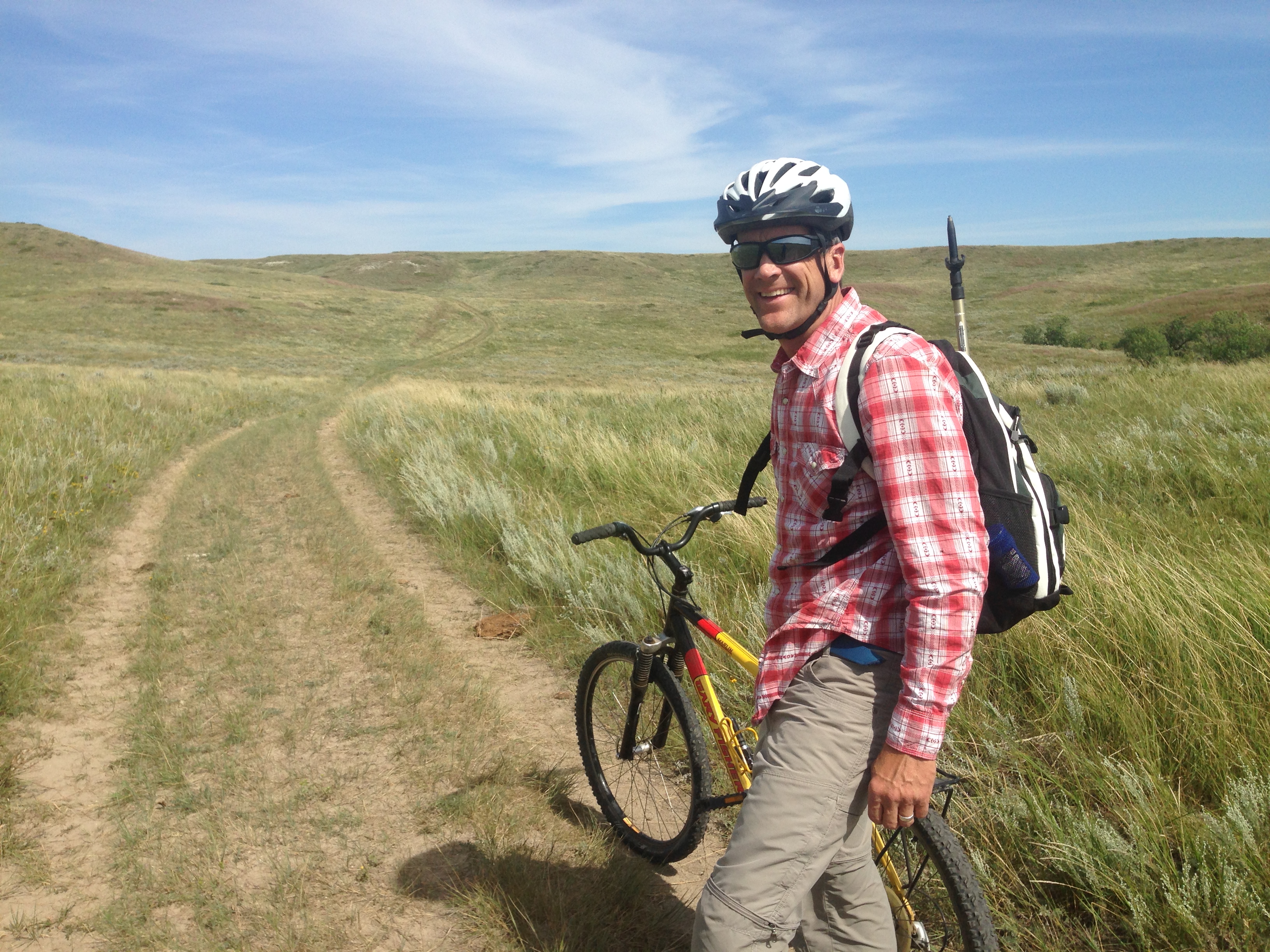
I figured the best way to tackle this was with bikes. The distances are not great, but we only had one day, so the idea was to park at the south end of the road and bike north until the road ends, then hike our way north until we connected to the campground. We would then hike back to the bikes, and then bike back to the truck. A total distance of about 17 miles, 12 of which would be by bike. On paper, that sounds reasonable.
The country was just as beautiful as I remembered it. The bike ride was quite a pleasant roll on a well-defined two-track through grasslands with sweeping views.
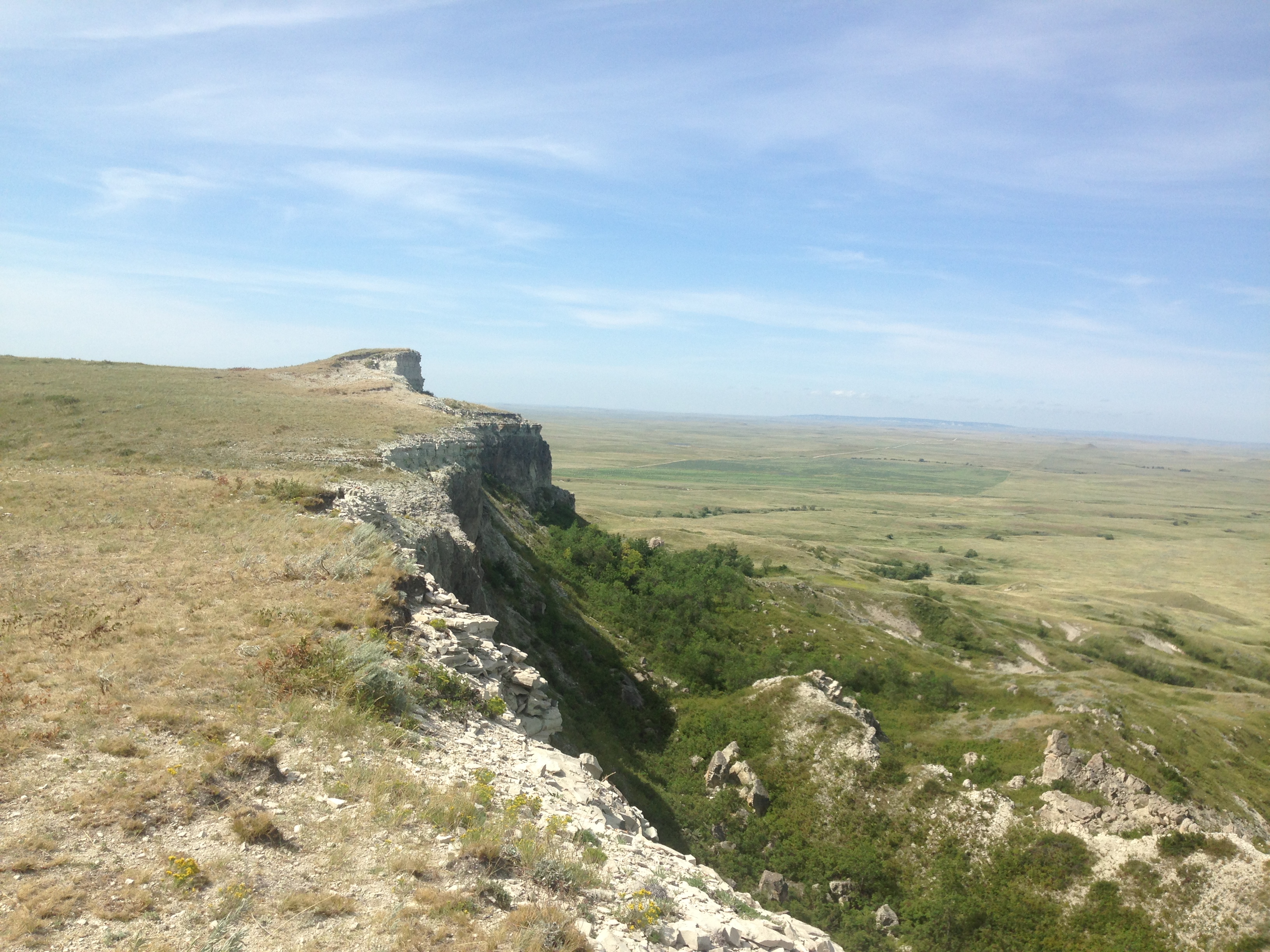 The difficulty began when we arrived at where we thought we should leave the road and start hiking. This is where the forest service map proved inadequate, and we should’ve had a proper topo map. A topo map would’ve shown that there was still a sizable ridge in between us and where we needed to be to access the campground. Not knowing this, we plunged into an unmarked, wild area with thick brush and only a few hints of game trails to help us just enough to keep us going. After a half hour of hard work in the growing heat of the day, we realized that this was just simply not the way to go. The only option was to trudge back to the bikes, slightly defeated and see if there was another possibility. We had wasted a lot of effort and time chasing the wrong track, but we found our way back to the bikes, and decided to keep on the road just a little further to see what we could see. A little ways on, it was obvious where we needed to go. We could see in the distance where the campground was. It looked far away; it was getting hot, and we were a little spent.
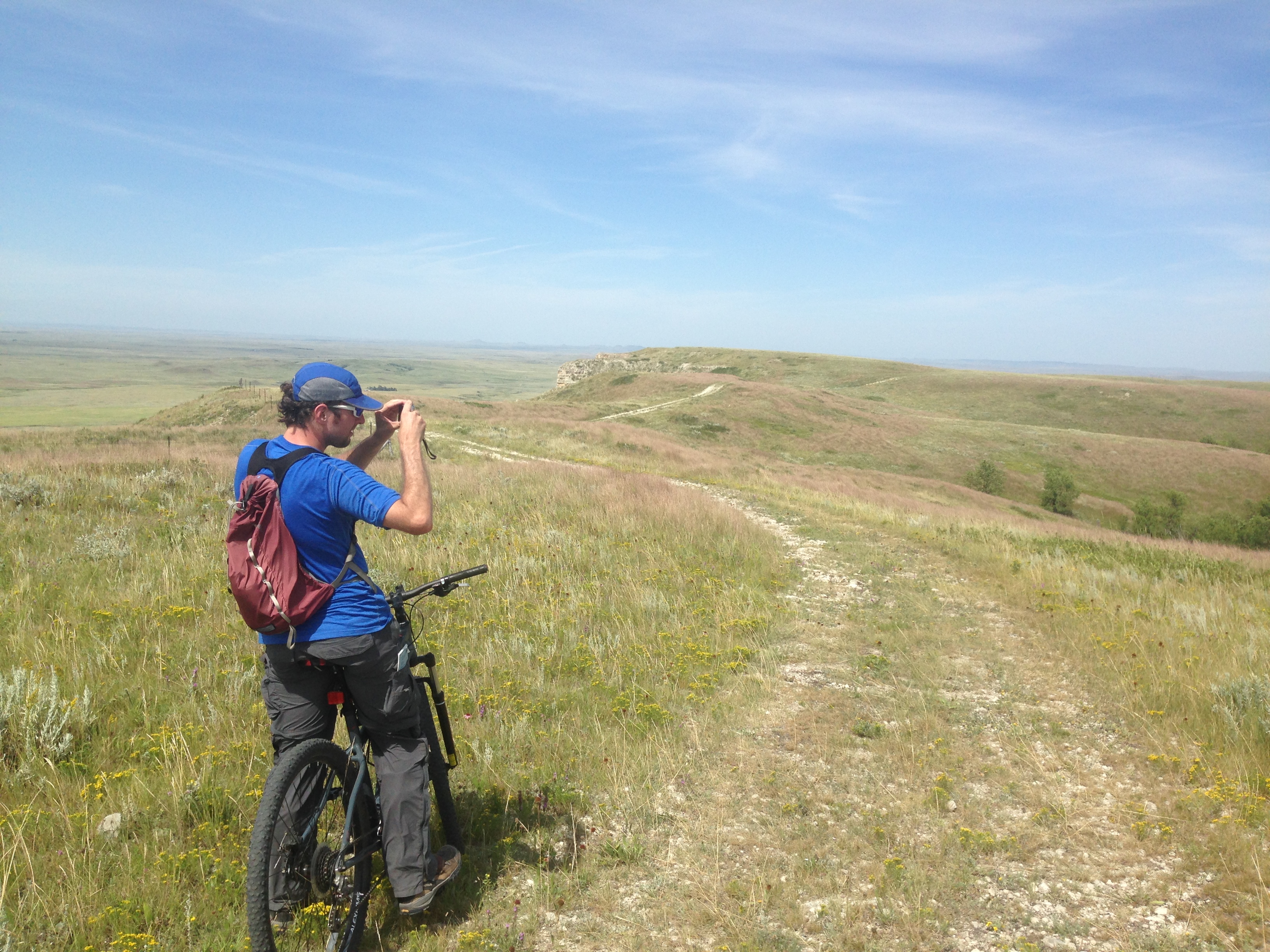
The picture to the left is the place where we had to make a decision. Ride back to the truck, admit defeat, and try again some other time; or set our sights on the campground and go for it.
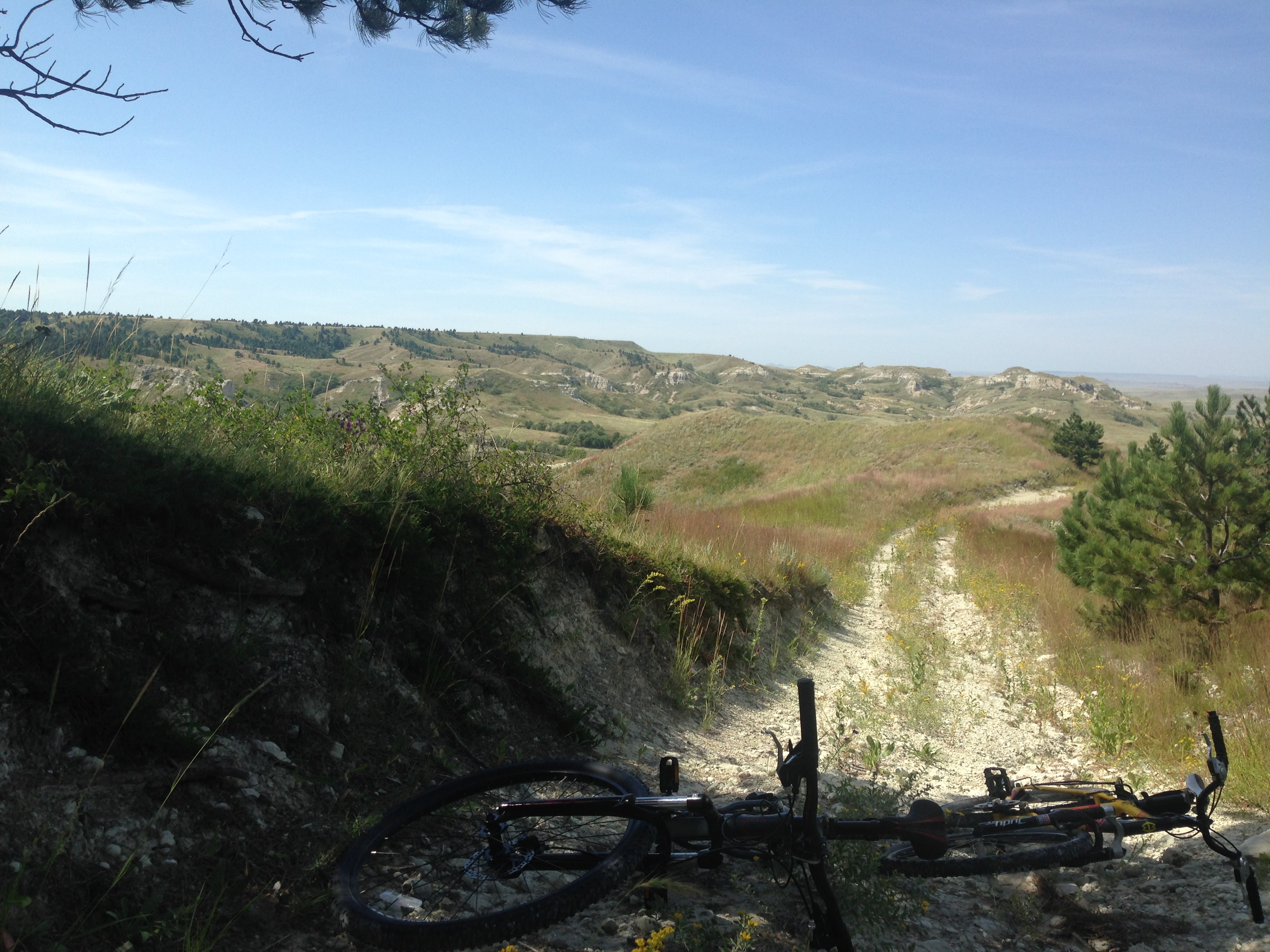
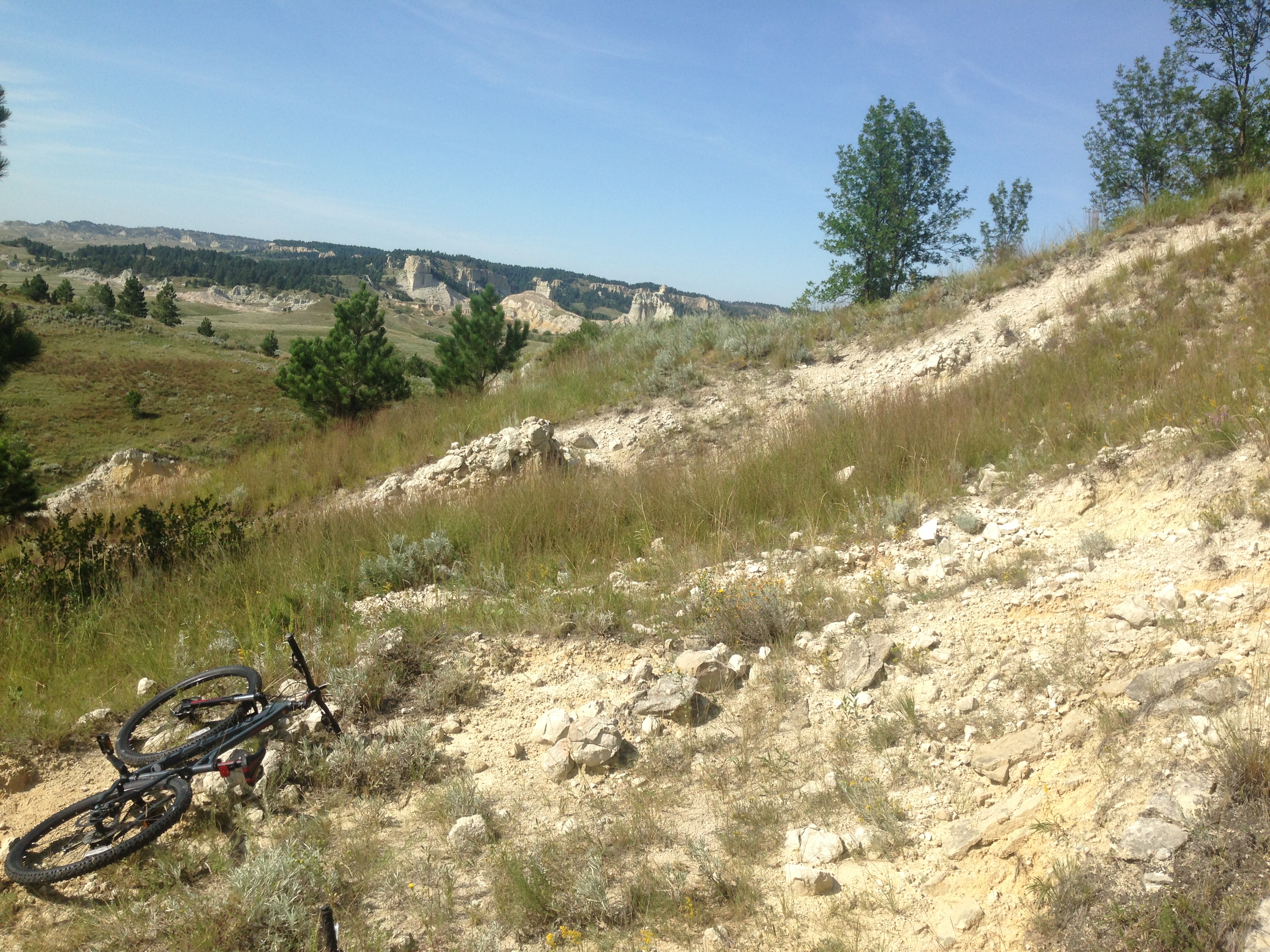
I didn’t want another five or six years to go by before I came back here to try again. We were here, the time was now. We ate some food, gathered ourselves, and resolved to get to the campground no matter what. It became clear that we lacked the energy to return to our bikes, so we decided our best option was to do a “hike-a-bike.” The country was wild and difficult enough without having to push and coax a bulky, uncooperative steed through bushes, weeds, rocks, sandstones formations and dense thickets, but onward we trudged. We managed to actually ride in just a few spots, which really helped because the afternoon sun was glaring, and we were both just about out of water. We had a few false leads, but mostly the route finding was not difficult. It was just a matter of pushing ever northward along a steep rampart of sandstone.
It was very clear to us that a trail could easily be established here. It’s public land with some private land to the west, as we could see a large cattle ranch in the distance. It was not difficult to avoid the private land, and it’s not hard to imagine an enjoyable and viable hiking trail connecting the campground and the forest road.
The scenery is varied and pretty with buttes, bluffs and tight little canyons as well as large open areas. A trail here would not only be a nice addition for the GPT, but would also add an activity for local campers. As it stands, there really isn’t anything to do from the campground other than camp and hang out. A new trail (even a short one) would add some needed recreation and might bring in a few people to see the beauty of the area.
In the end, we finally stumbled to the campground mostly exhausted and without any remaining water or food. As we pushed our bikes to victory, a pleasant, cooling zephyr came up and moved through the hills, and as strange as it sounds, I couldn’t help but feel as though the trees, moving joyously in the wind, were applauding and cheering our success.

