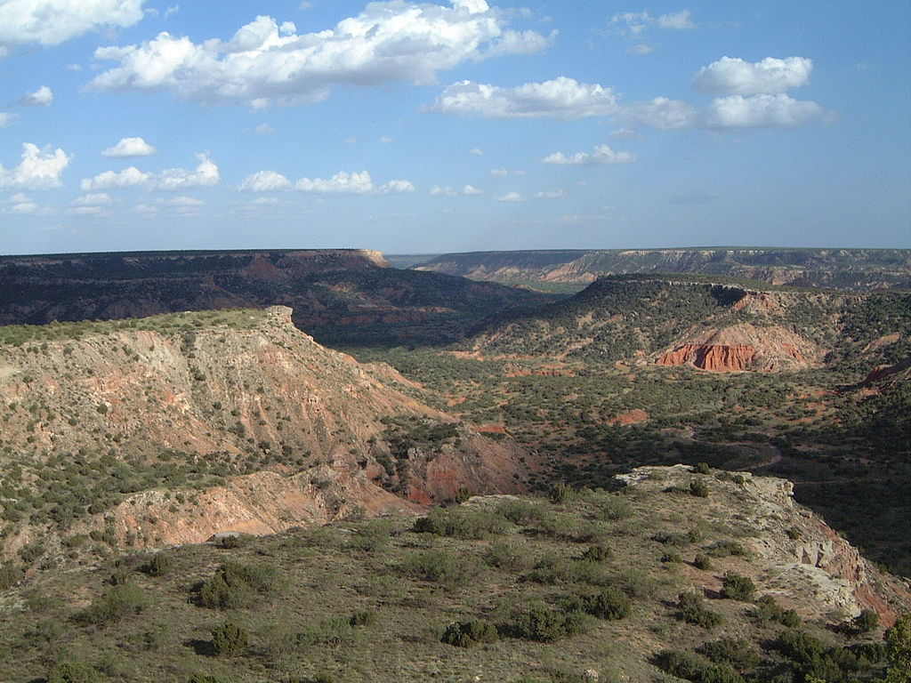

Not far from Interstate-40 as well as Interstate-27 is Palo Duro Canyon near Amarillo, Texas. It’s been called the “Grand Canyon of Texas,” and for good reason. The canyon is more than 70 miles long, and approaches 1,000 feet deep. Its red rock walls are similar to features you might see in the Grand Canyon, just on a slightly smaller, more Great Plains type scale. Palo Duro Canyon forms part of the eastern escarpment edge of the Llano Estacado, a giant, table flat plain in western Texas and eastern New Mexico.
Historically, the Llano Estacado is where the fabled city of Quivira was said to be. In the 1500s, Spaniard Francisco Vasquez de Coronado went in search of Quivira, which legend had it was a place a vast gold riches. I’m guessing it was just a ruse to get him to go away. There was, of course, no city of gold, just the featureless plains of the Llano Estacado. Three centuries later, the canyon and the plains became one of the last stands of the Comanche nation, and where Quanah Parker honed his skills as a warrior.
Today, at the northern end of Palo Duro Canyon you will find Palo Duro Canyon State Park. Being not far from Amarillo, it’s a well developed park with lots of things to do. There are over 30 miles of hiking, biking, and equestrian trails. Most of them are fairly short in length, but you could combine several of them in one day and feel like you had a diverse adventure.
There are campsites, cabins, guided trail rides, and ranger programs. The following link from Texas Parks and Wildlife is the best one to inform you on all there is to do in Palo Duro Canyon: Palo Duro Canyon State Park
Although there are no cities of gold, Palo Duro Canyon is a gem on the Great Plains!


6 Responses
The Palo Duro really is a great spot. The park was recently enlarged significantly and now there is something approaching a Caprock backcountry. A bit to the south is also the Caprock Canyons State Park, which is also very nice. In some ways I like it even more, but with the new additions to Palo Duro, that may change.
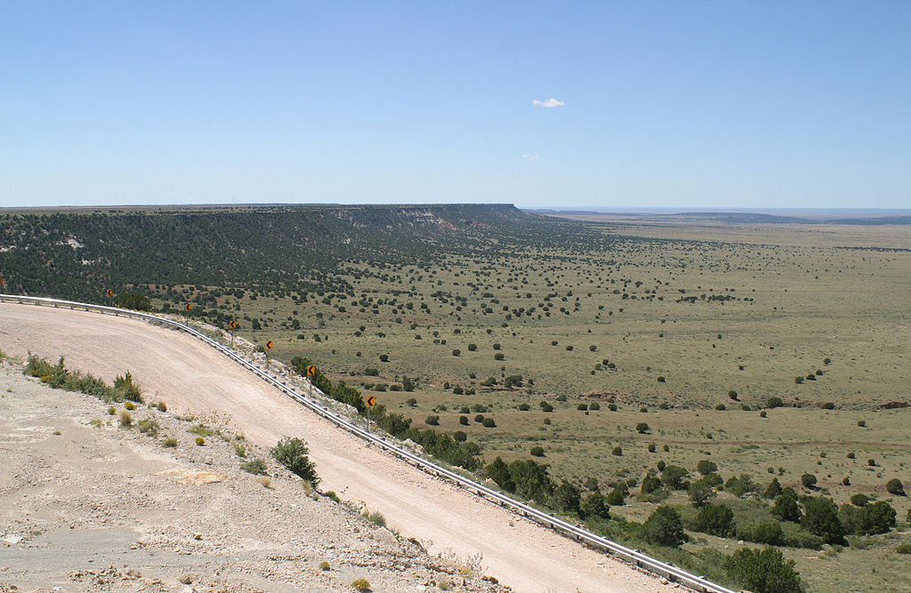
Just out of curiosity, where is the second image on your post from? It looks like the edge of the Llano in New Mexico.
I am sure you are aware of this, but if you aren’t you really should check out the Canadian River Canyon in New Mexico. This seems like a logical route for a Great Plains Trail to be routed, both in terms of scenery and the existence of a long stretch of public land. It is certainly one of the most underappreciated and most scenic corners of the the plains!
http://www.summitpost.org/canadian-river-canyon-mills-canyon/276153
Thanks for your knowledge! Glad to know more about that particular area . . . very much not on most people’s radar.
I think you’re right about the photo. I pulled it from Wikipedia, but I think it is New Mexico. It really shows off the abruptness of the landscape.
Yes! The Canadian River Canyon is awesome! Totally under appreciated and right in line with where the Great Plains Trail will be routed. It’s almost like a mini-Sedona down there. Spectacular!
Heh. I did not see your post on the Canadian River Canyon and you already linked to the Summitpost page! For what it is worth, that page and the images are mine. If you are ever interested in using them for promotional stuff, you are more than welcome to! It really, really is a great spot. I am glad you were able to go there. Not many do. There are a few other hidden gems out in that neck of the woods, if you are ever curious for a few other spots. I am sure you have resources covering all of that, but you never know what someone else might have dug up.
Thanks! Those are terrific photos. I love the road that drops into the canyon – a little daring and dangerous, but that’s as it should be . . .
A Quanah Parker reference again! Now he seems to be everywhere we look. Date: Sun, 8 Feb 2015 17:02:52 +0000 To: andreamyers10@hotmail.com
Totally. He was the man!