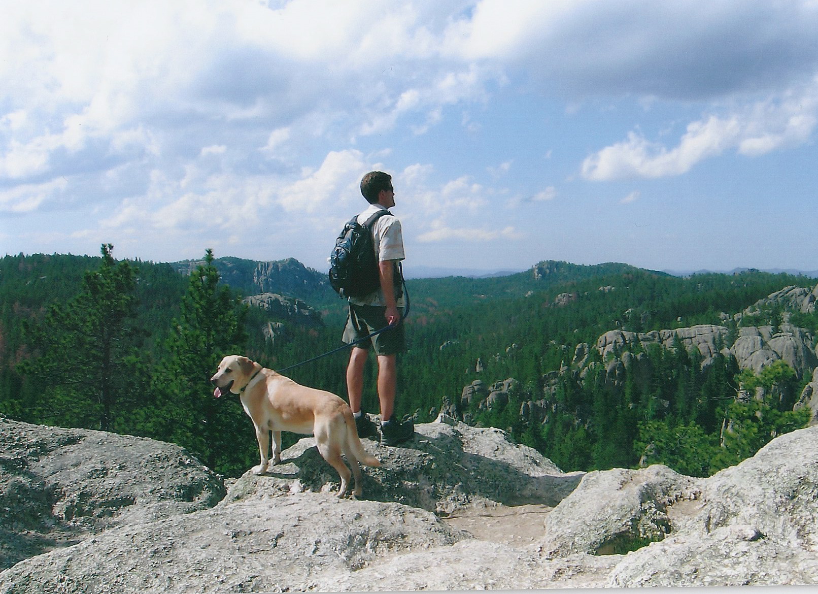
 When it comes to mountains on the Great Plains, the Black Hills of South Dakota take center stage. No other major landform of the plains has anywhere near the influence that the Black Hills has on the region’s geography, culture, and history. They were sacred to native tribes of the past (the Lakota called them “Paha Sapa,” which was translated into English as “Black Hills,”) and they are revered today by countless travelers who come seeking recreation and enjoyment among its peaks, forests, lakes, rivers and canyons.
Geologically, they are related to the Rocky Mountains and represent the furthest eastern upthrust of that great mountain chain, but geographically, the Great Plains can claim them as their own due to the range’s isolation and apparent separation from the rest of the Rockies. The main portion of the Black Hills is in western South Dakota, but they also extend westward into Wyoming and include the famous Devil’s Tower National Monument, as well as southward into Nebraska to the Pine Ridge National Recreation Area.
The Great Plains Trail proposes to pass through the heart of the Black Hills, and hopes to join with the 111 mile Centennial Trail the runs north/south from Bear Butte all the way to Wind Cave National Park. The Centennial Trail was created in 1989 to commemorate South Dakota’s centennial year of statehood.
I want to end by saying that simply put, the Black Hills are beautiful. It might not be the reason that people state for going to the Black Hills, but it’s definitely the reason that keeps people coming back. As John Muir said, “Man needs beauty as well as bread.”


6 Responses
Beautiful they are! They should be on everyone’s life list.
They can be stunning and dramatic in evening light, especially with thunderstorms nearby.
Do you know if the Centennial Trail and/or the Great Plains Trail will intersect with the Mickelson Trail anywhere along the way. The Mickelson is an east/west rail trail that also runs through the Black Hills of SD.
Doing a quick search, it looks like it parallels it just to the west. They’re roughly similar in length and both run north/south. Looks like a great rail trail!
Bridger dog!
Yup!