 Happy Trails!: Great Plains Trail Alliance is proud to announce our first section of what will become the GPT. Our goal is to roll out as many of these sections as we can until the entire length of the GPT is complete. This will take some time, and the process will likely start slowly and then build steam and go more quickly as resources and interest continues to grow.
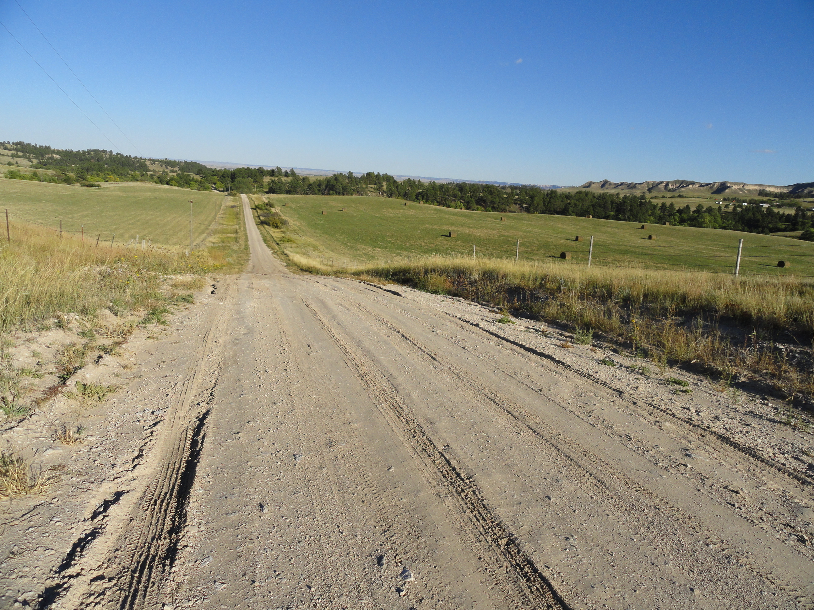
A Note on Routing: It is also our goal to have as much of the GPT as possible routed on actual trails. That said, reality will dictate that a significant percentage of the route will need to be on roads. Working with this fact, we will strive to route the GPT on roads that are 1) the most scenic 2) the least traveled and 3) the most expedient for any given area. In most cases, this will mean county dirt roads. In some cases, it may be that there are no dirt roads available, or there may be a short section routed on a paved road in order to enter a town that may serve as an endpoint for a particular section. As the process continues, routing will be continually revised and improved by either adding more trail, or by choosing the best road in an area. As with any long distance trail, this will be a dynamic process. Even long established National Scenic Trails such as the Appalachian Trail, The Pacific Crest Trail, and the Continental Divide Trail are still involved in this process.
Safety: Hiking, Biking, and Horseback Riding involve inherent risks. On any trail, you are always responsible for your own safety. We at GPTA want you to have fun and enjoy the beauty and the adventure of the Great Plains Trail, but we also want you to exercise caution and be smart about the hazards that exist on the Great Plains which include, but are not limited to: weather, wildlife, and water scarcity. Plan ahead and be prepared!
Our First Section: Toadstool Geologic Park to Fort Robinson State Park, Nebraska (22 miles – 27% Trail 73% Road)
Name: “Fort Toad” (but we’re open to suggestions!)
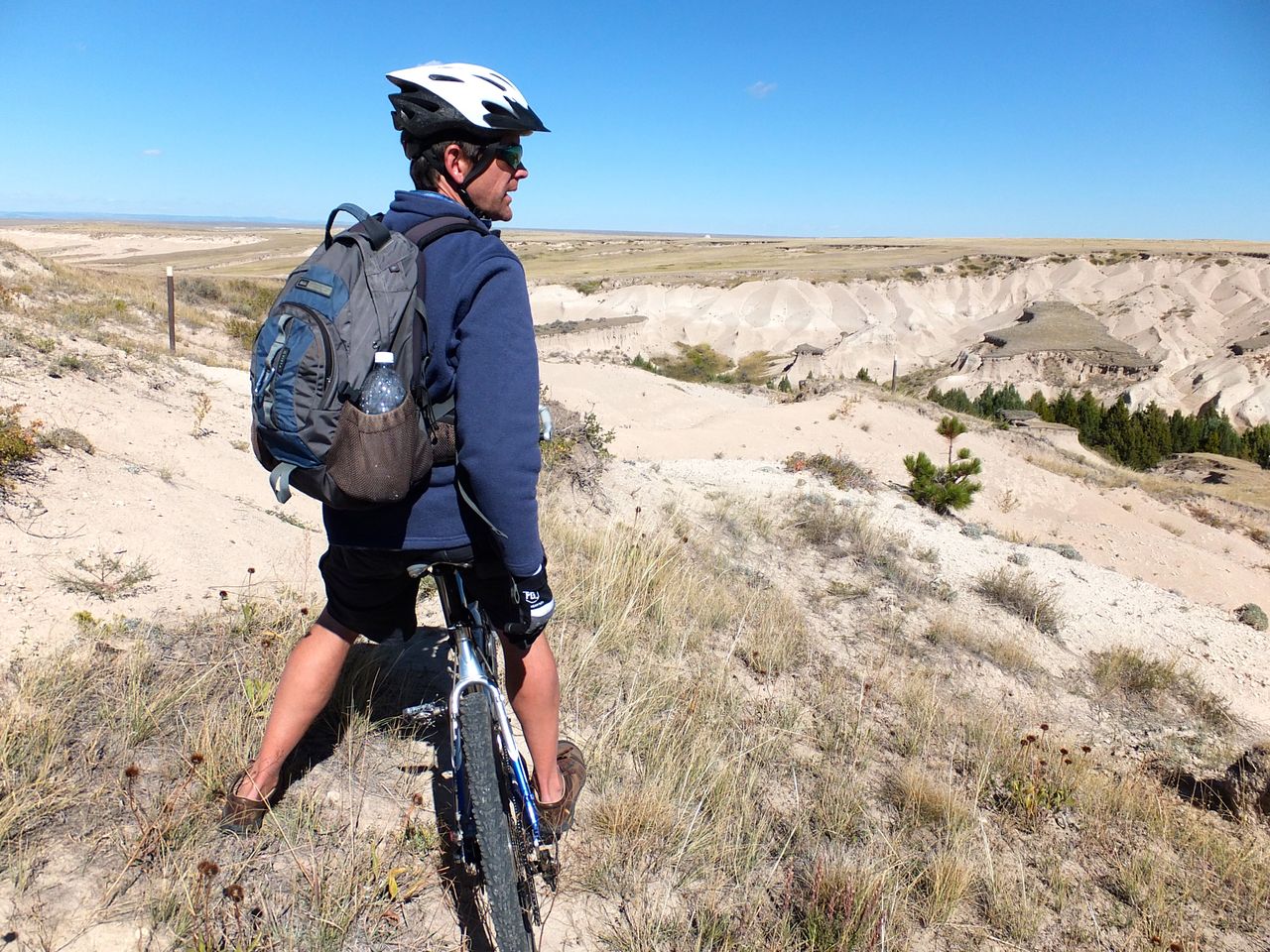
Open to: Hiking, Biking, Horses
Elevation Gain/loss: The lowest point is 3,700 ft and the highest point is 4,350 ft. The terrain is anywhere from flat to rolling to steep with numerous ups and downs ranging from 20 – 200 ft
Difficulty: Moderate to Strenuous
Highlights:
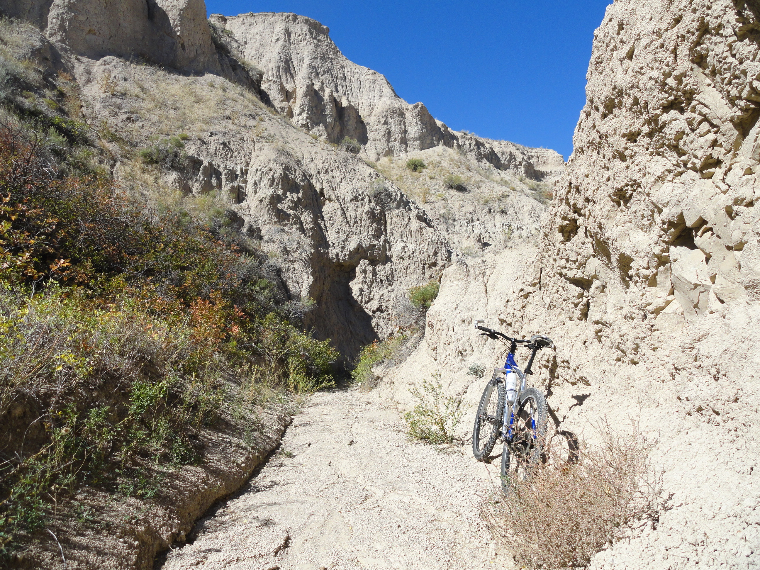
Toadstool Geologic Park – Amazing eroded formations and badlands
Hudson-Meng Bonebed – Fascinating archeology and anthropology – a 10,000 year old bison kill site accomplished by early humans in the area
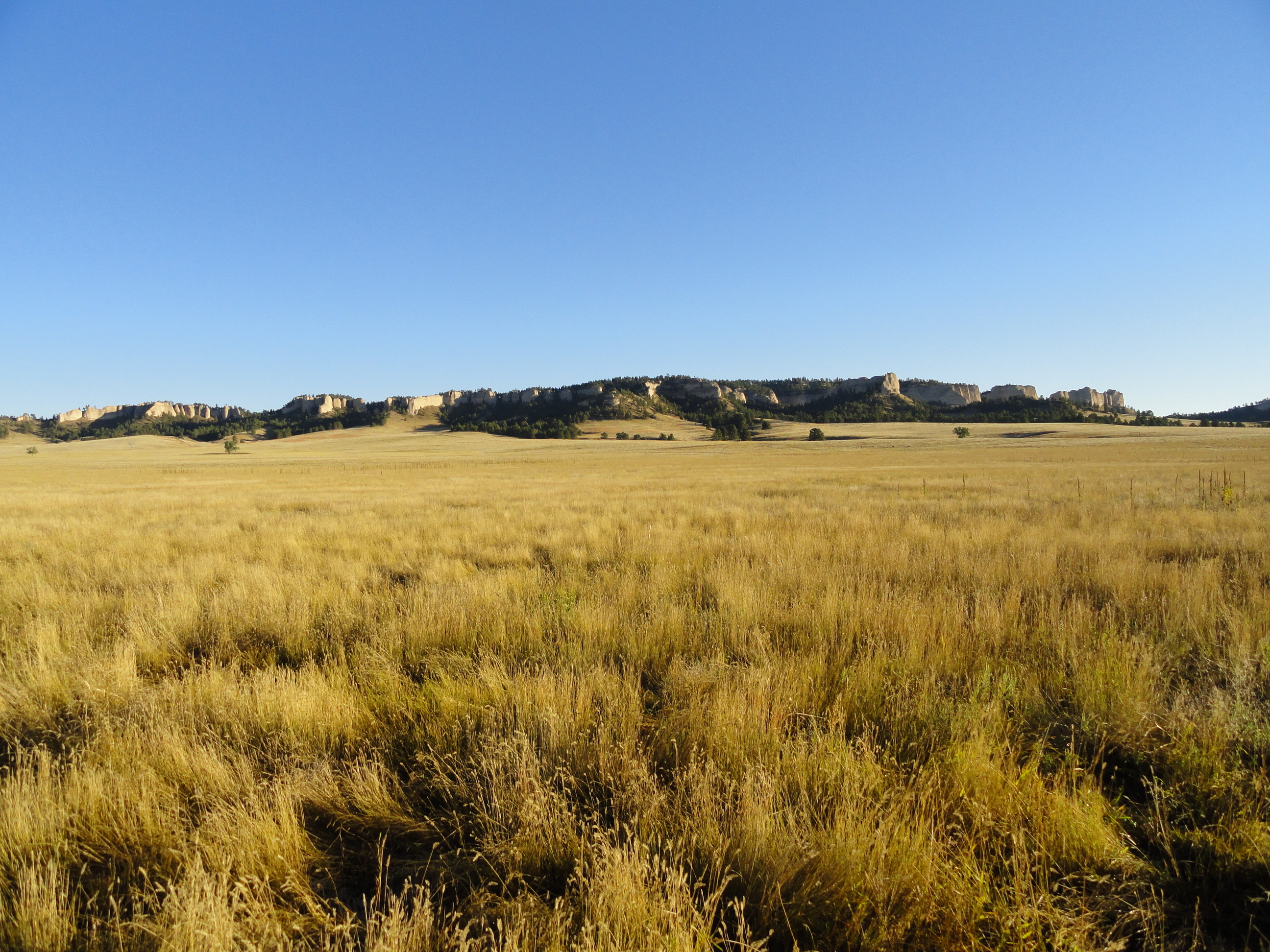
Fort Robinson State Park – 1800s historic army fort with incredible history and architecture all in a setting of dramatic cliffs and wide open prairies
GPS Map Link: “Fort Toad”
Getting There: This trail can be done in either direction, but we recommend starting at Toadstool and ending at Fort Robinson. Either way, it is a one way trip, so you will want to leave a car at the finishing point. There is camping available at either end. Fort Robinson is 3 miles west of the town of Crawford, NE on Hwy 20. Toadstool is 17 miles north of Crawford – take Hwy 71 five miles to Toadstool Road. Take Toadstool Road the remaining 12 miles.
Trail Description: (Direction: Toadstool to Fort Robinson)
Note: Although we will do our best to provide the most reliable and current information, we cannot guarantee conditions as described here. The following information was last updated on 10/27/2013
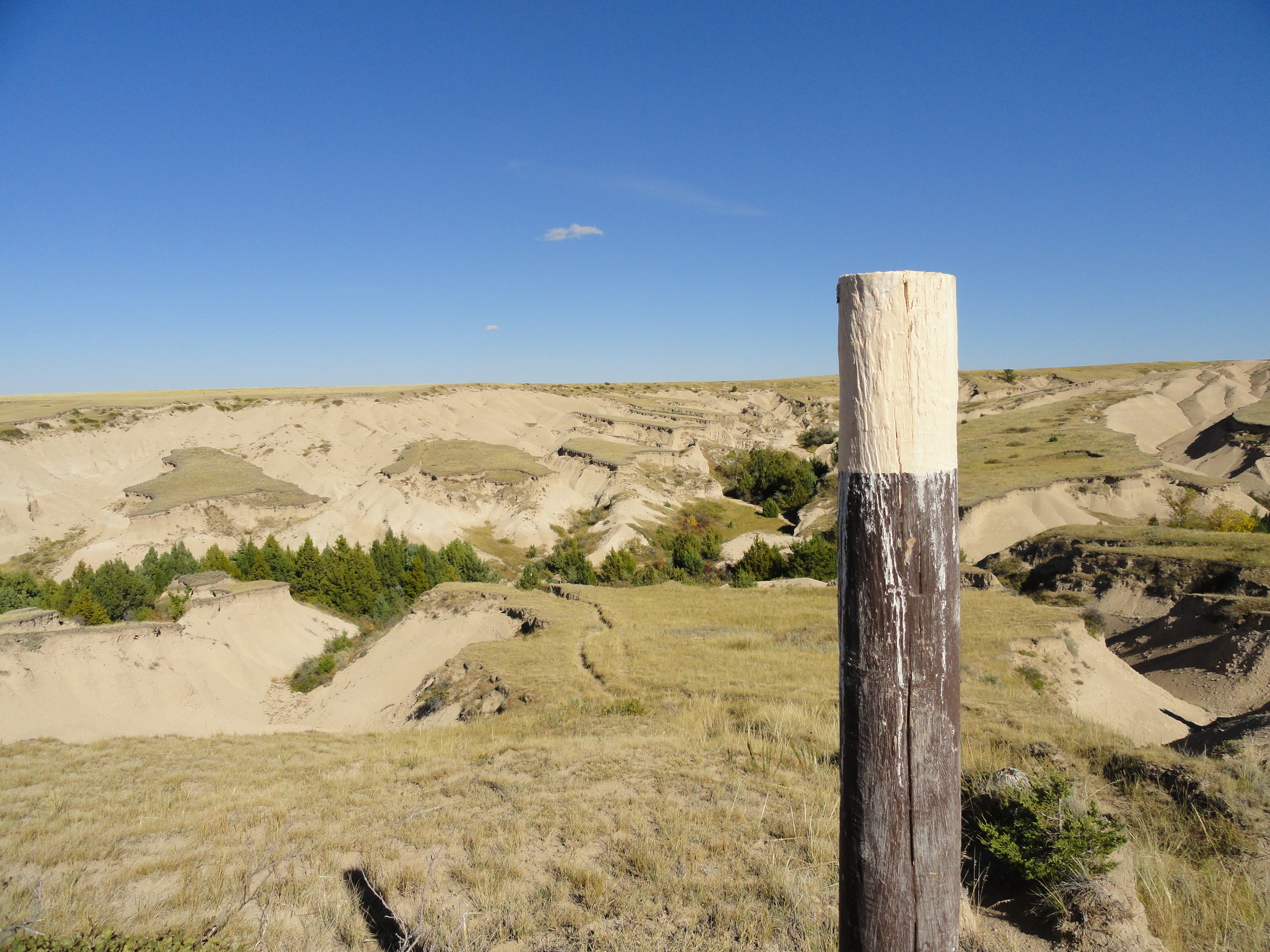
From the Toadstool Geologic Park Campground, take the main trail heading west. The trail splits, but either way will take you to the Bison Trail which is 3 miles to Hudson-Meng Bonebed. Follow the narrow wash as well as the brown wooden posts with yellow tops. After 1.5 miles, you climb out of the wash, and onto the wide open plains. Continue to follow the posts through a series of ups and downs for 1.5 miles until you come to the Hudson-Meng site, which has a main quonset hut style building.
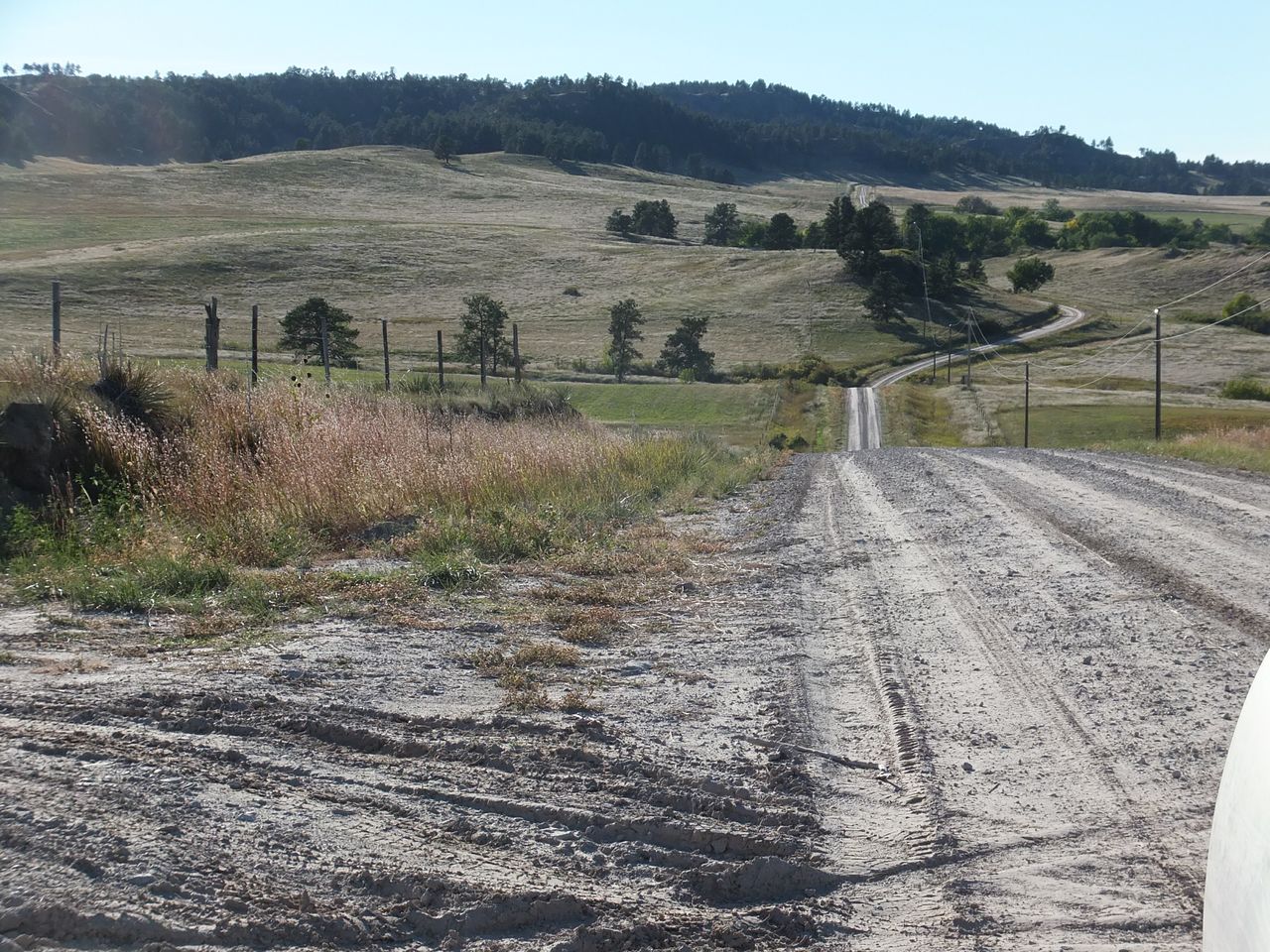
From the building, follow the path around the pond and up to the parking lot. From there, follow the dirt road south for one mile. At the junction, take Milo Road south for 4 miles until it comes to a “T.” Go east for 1/2 mile on Cottonwood Road, then south on Rimrock Road. Rimrock Road alternates going east and south for 6 miles. Turn east onto Moody Road for 2 miles. Stay to the west of the railroad tracks and follow Dodd Road (poorly maintained) for 3 miles into the town of Crawford. Dodd Road enters Crawford on the NW corner of town.
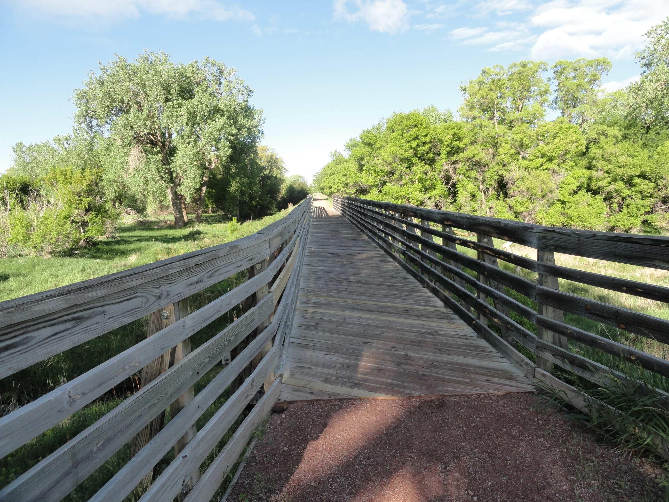
Pick up the White River Trail (gravel rail trail) at the SW corner of First Street and Main. Follow the White River Trail west for 3 miles into Fort Robinson State Park. The trail ends near the southern end of the main historic section of the park. Park headquarters are about 1/4 mile north and the campground is about 1/4 mile further west.
Photos:



7 Responses
I feel like I’ve just been there. Thanks Steve !
Whoo hoo! Great job getting it started! Your photos and description make me want to go right now.
It’s not too far, but the season is getting late . . .
This is a great little trek. Over the years I’ve done parts of it and always enjoyed it–lots of interesting badlands, Pine Ridge, and prairie scenery.
Indeed. It seems to represent the best of the Great Plains pretty well. Can’t wait to attach on to it, both north and south!