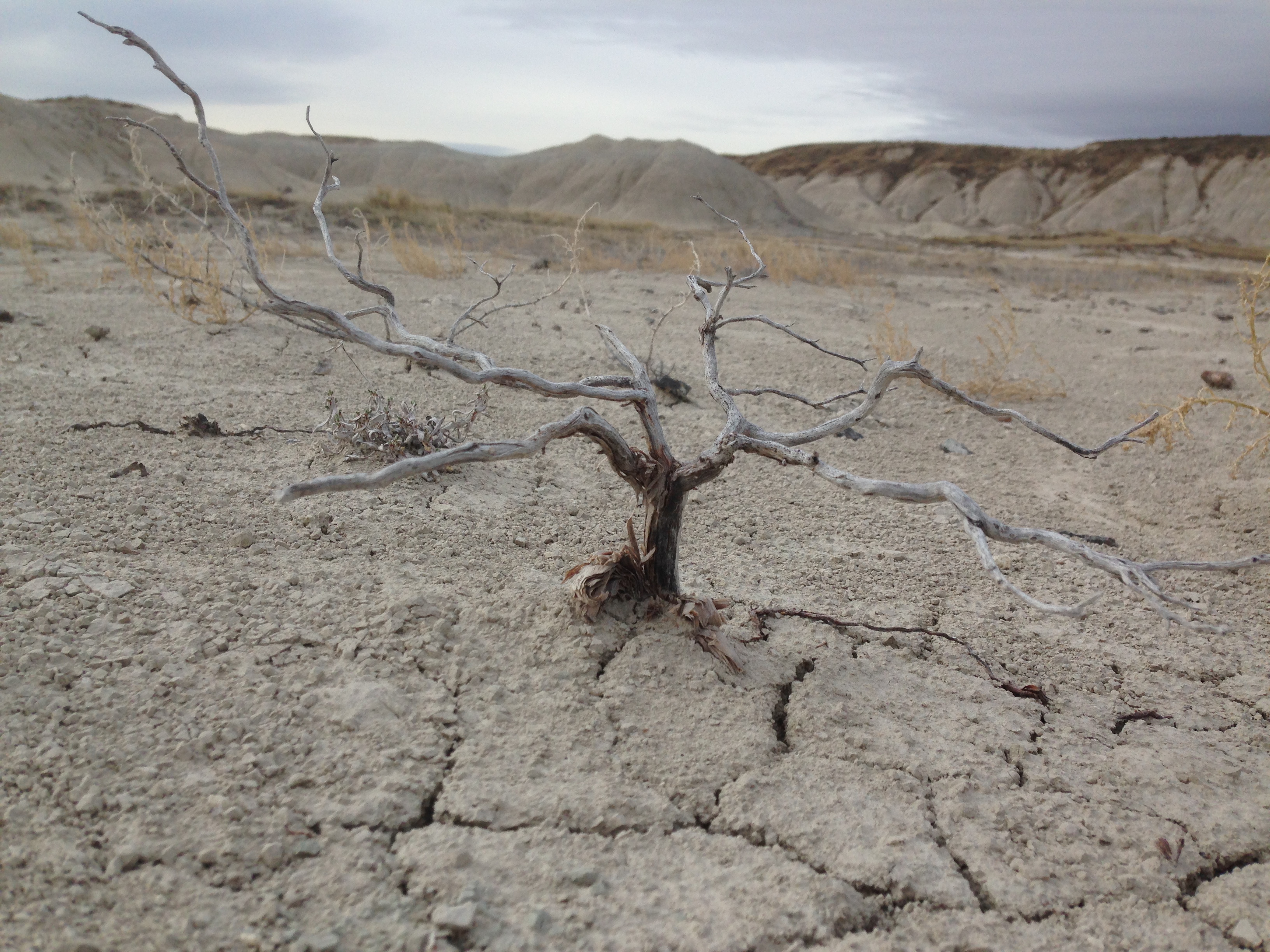
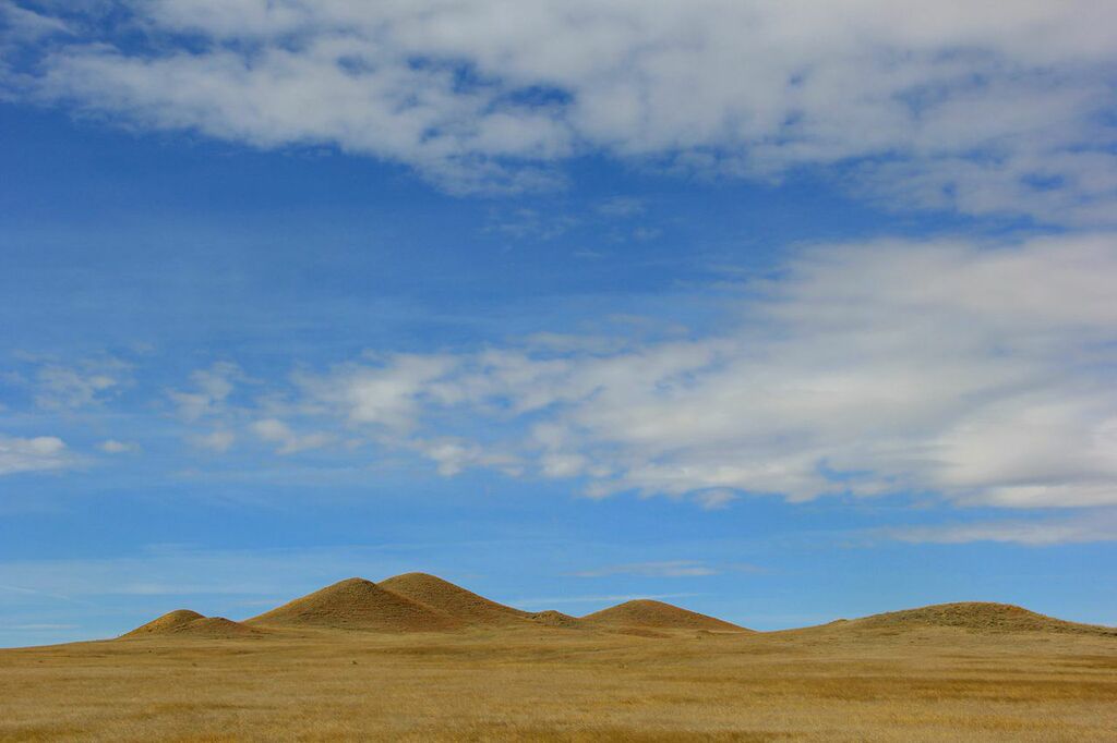
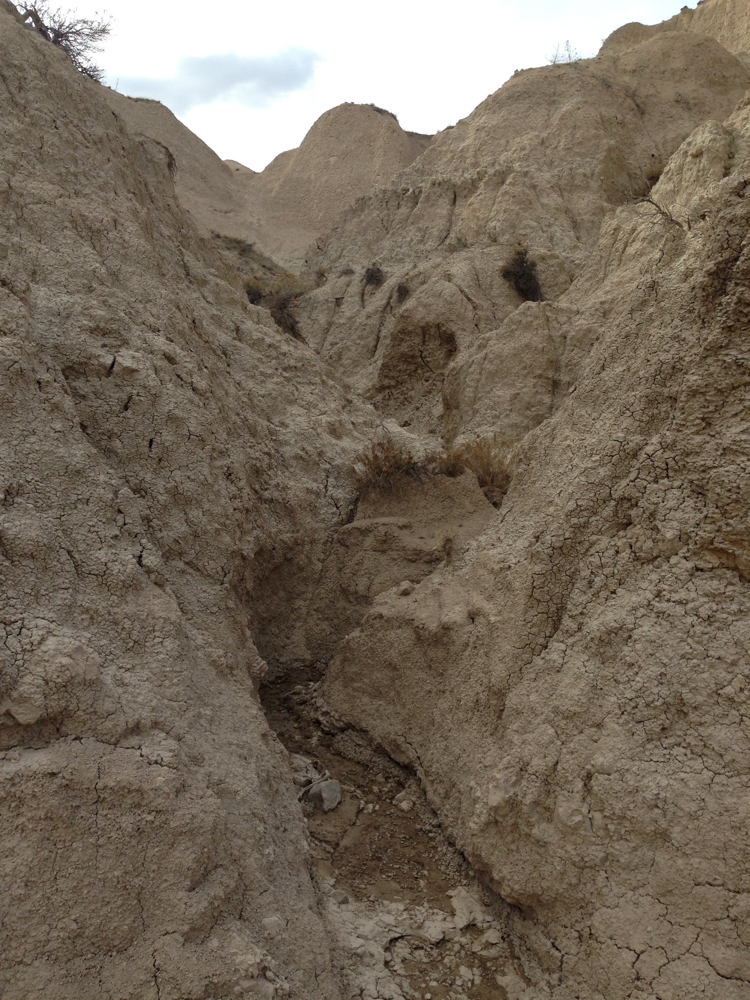
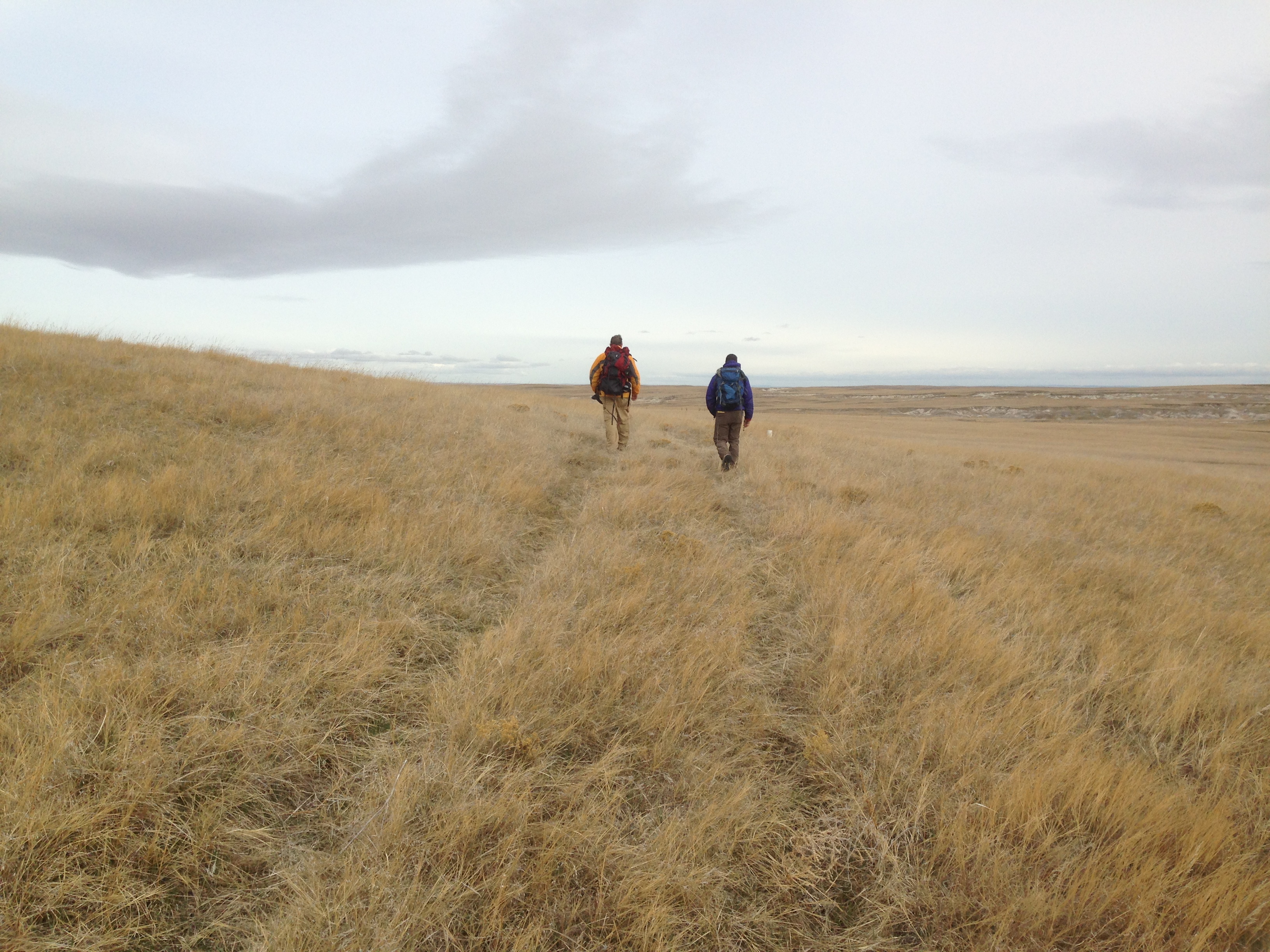
Toadstool is an amazing place. I’ve now been there enough times in the last few years that I’m starting to get to know it pretty well, I think. To the north of the campground, there are a series of imposing badlands, and then it starts to peter out and becomes just rolling grasslands about a mile further north. In my initial routing plans from my first few visits, I knew of no other way than to backtrack to the road, but as I grew more familiar with Toadstool, I began to think that routing a section of new trail north of the campground might just be possible.
Note: All apologies for the order of these photos. WordPress is just putting them wherever it wants, and I seem to have no control over it, so they’re out of sequence.
We met briefly with Mike Watts, who is in charge of the recreation department for Oglala National Grassland, and he confirmed that most of the way north of the campground was still on public land. He also gave us the go ahead to find our way through, and seemed excited about the trail in general. So with that, we started out on a true route finding mission!
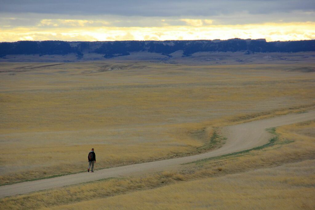
The badlands just to the north of the campground were indeed steep and tricky, but we did manage to find a more or less feasible way up an over and between them. In wetter times, it may not be ideal, but in reasonably dry weather, the way was pretty easy. Beyond that, the way was not too tricky, and there were no other major obstacles. You can more or less just head WNW until you meet up with a little used forest service two track road that then takes you out to the main road about a mile further on.
The day was young, and we had many miles yet to cover, but the success of actually routing new trail put a smile on my face for the rest of the day!
Overall, we covered about 18 miles that day and although most of it was on roads, we saw zero cars.

