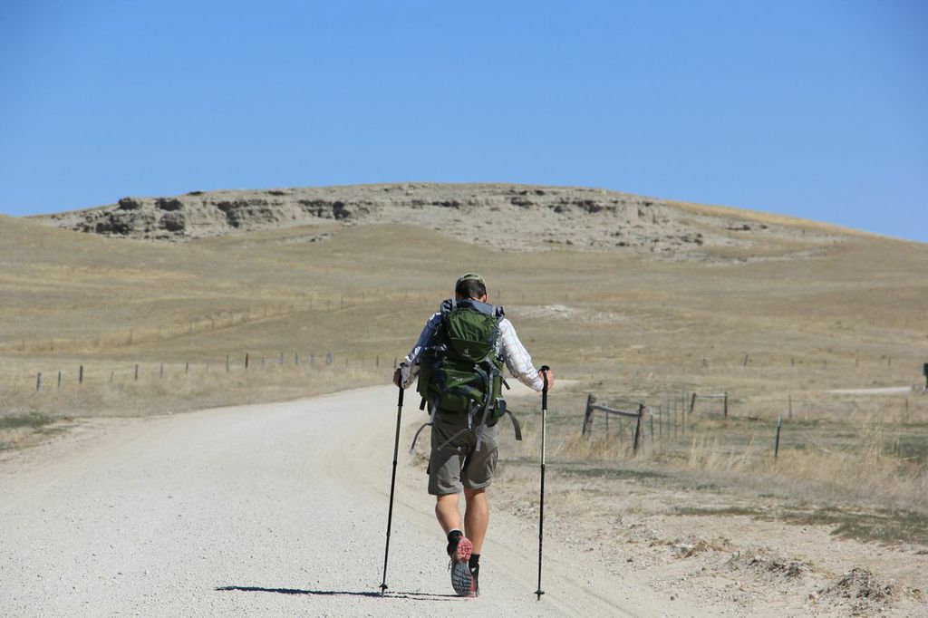
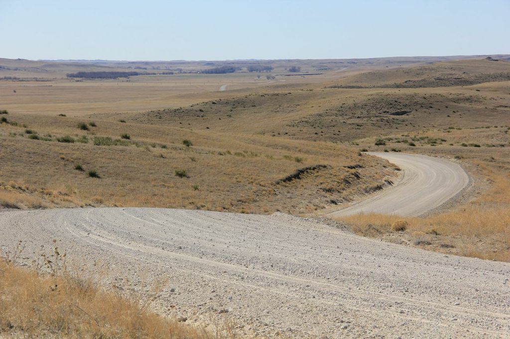
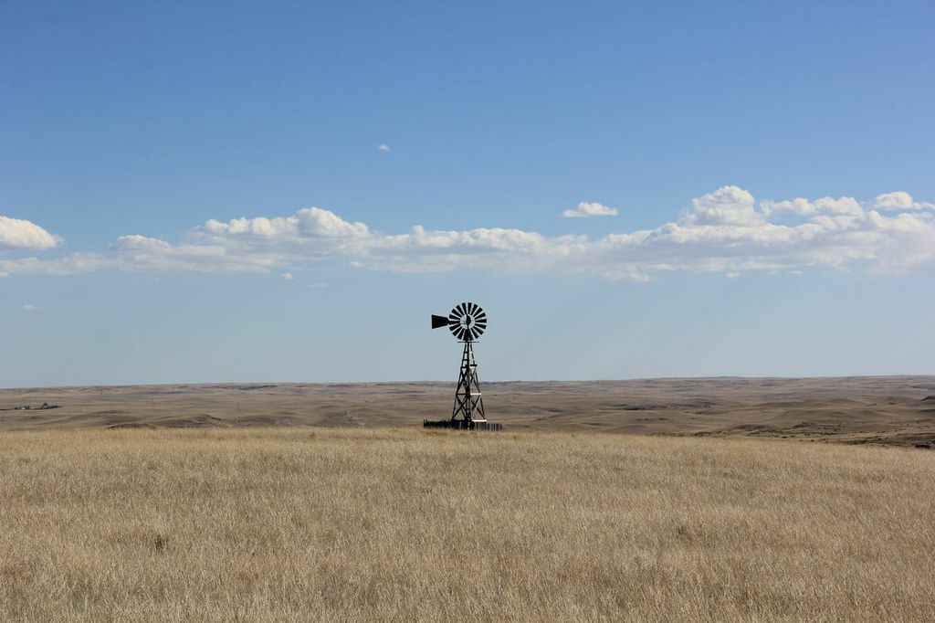
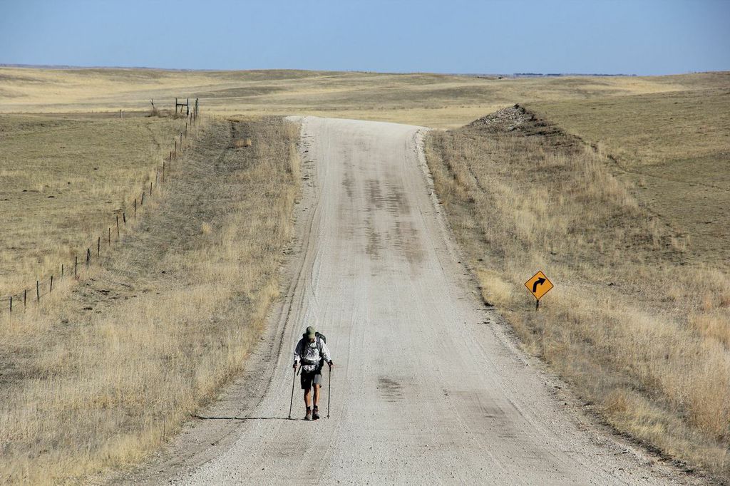
This is the first in a series of posts about the 106 mile journey I completed two weeks ago with Ken Ilgunas, Kevin Purdy, and Robert Pahre. It was a test drive of the first few sections of the GPT, and it was also the backdrop for an upcoming Backpacker Magazine article to be published later this year (stay tuned as to when exactly). These posts will be light on the prose, and heavy on the photos, which is a break from my usual style, but Ken came up with some excellent photos and I want to let them them tell most of the story.
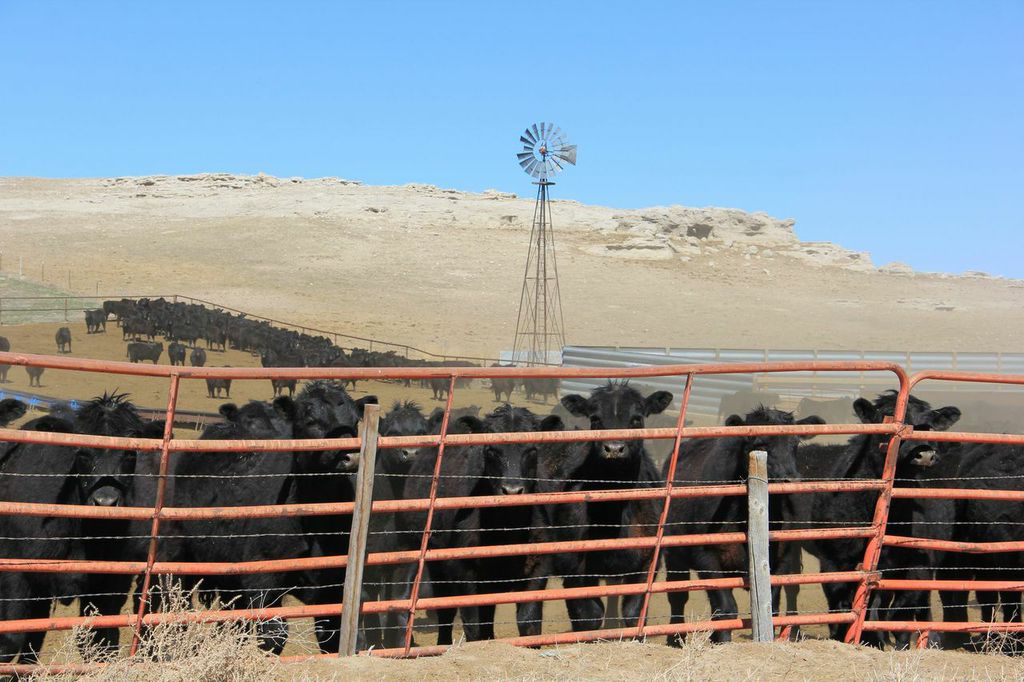
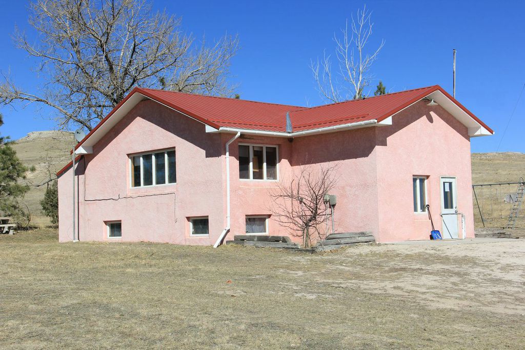
We started on an unseasonably warm March day in Agate Fossil Beds National Monument. After meeting with the rangers there and taking a tour of their excellent (and I do mean excellent) collection of historical artifacts (including Red Cloud’s shirt, and American Horse’s war club) we started down the road, heading east toward the Pink School House. We met some ranchers on the way who were, in addition to being surprised at seeing people walking, a little disconcerted that we were riling up the cows who were still in their winter pens. I explained what we were doing and that this area might one day be part of the Great Plains Trail, to which he responded, “God, I hope not!”
It turns out, however, that he was a hiker too, and was planning on scaling Laramie Peak the next day. We also shared a common bond over education. I mentioned I was a teacher on spring break, which was true, and he said his mother was a teacher, and that he attended elementary school at the little Pink School House just up the road where we were headed. We both lamented the disappearance of one room school houses, and we parted on amiable terms. From there, we hiked a mostly uneventful 12-14 miles, turned north at the Pink School House, and on toward the Pine Ridge of western Nebraska.
All photos by Ken Ilgunas


5 Responses
When the guy said “God, I hope not!”, I think he’s worried that it’ll mean lots of people hiking through, A similar story when they were laying out the route of the Superior Hiking Trail. A guy showed up at a meeting and asked why the trail wasn’t being run closer to the lake. The trail ended up going about a mile from his place, but at most there are probably less than 10 peope a week on that section.
I think you’re right, Kim, but like you say, it’s very unlikely that many people will be walking through, and late March would be an even less likely time. Generally, the cattle will be in their summer range, and there would be no problem. He was only concerned that they would get injured by pressing so close together and jostling each other too much . . .
Advantage of the GPT – get plenty of use out of a solar panel to keep the electronics charged! Would have to finally switch from being a hammock hanger to a ground dweller though, unless campsites could have hitching posts for hammocks. 😛
Good points! There are more trees along the way than you might guess . . . but admittedly, this area was quite treeless.
Backpacker Magazine?! YES!
Can’t wait to see more of your photos and hear more about the trek